 |
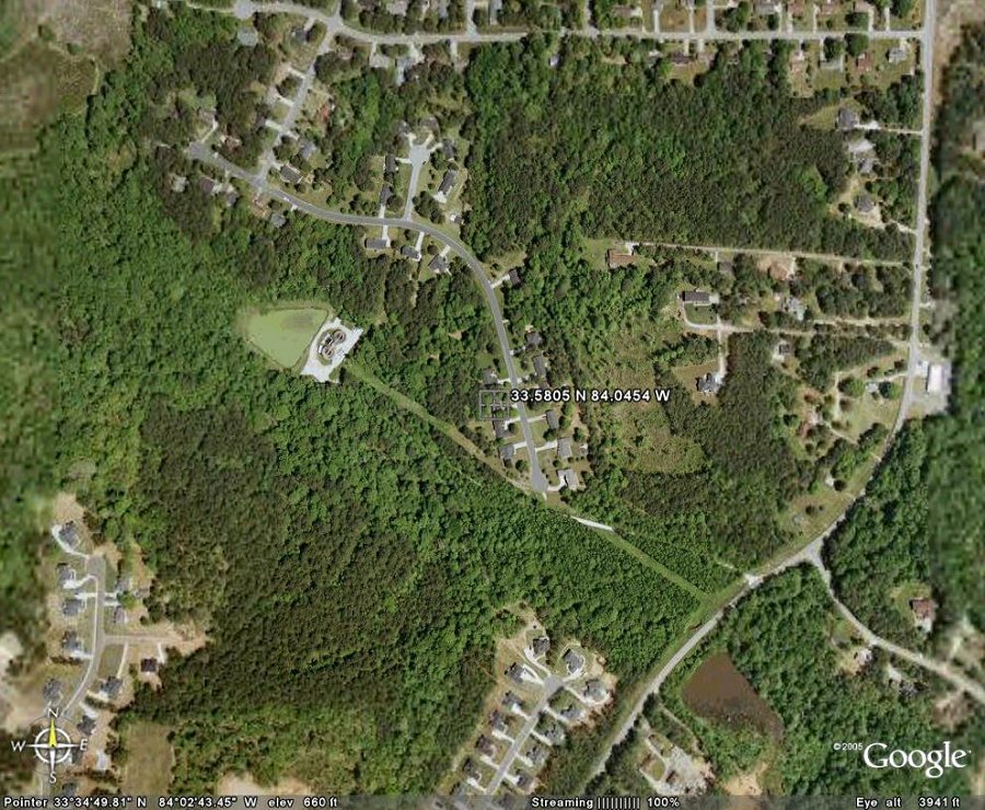
| Shown at the mark above, the Weather Station is located adjacent to the tree canopy at the back of the Quail Run Subdivision, in the Honey Creek Area of South Rockdale County. Click on the image to launch Google Maps. Our property backs up to the dirt road leading down (west) to the McClane Creek sewage treatment facility. Further west, McClane Creek joins Honey Creek near The Monastery Of The Holy Spirit (Ghost). Latitude: 33.5805°N Longitude: 84.0454°W Elevation 660 ft (201 meters) |